![]()
| • Home | •• Remote Sensing | ••• Geophysical Survey |
••••
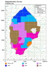
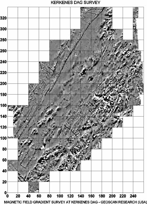
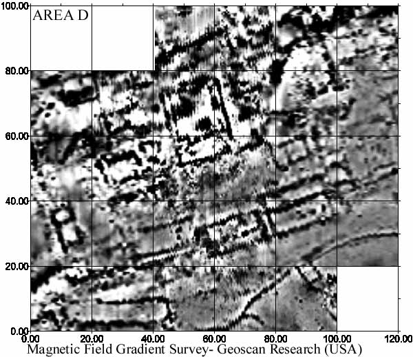
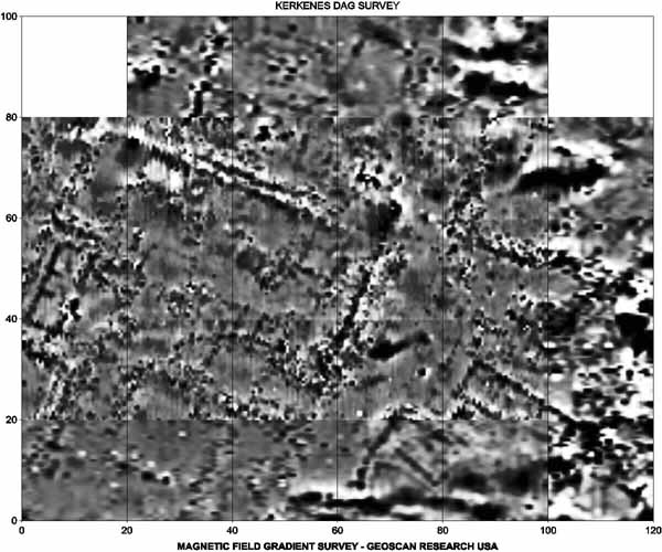
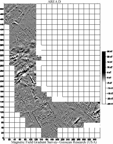
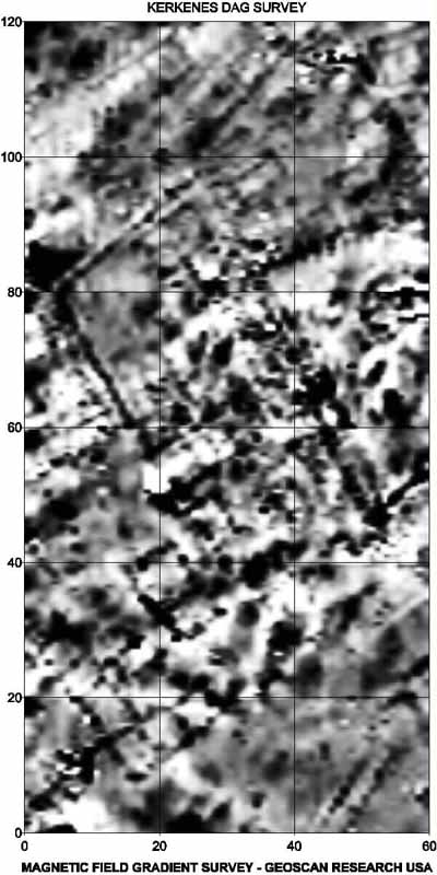
Geomagnetic Survey
|
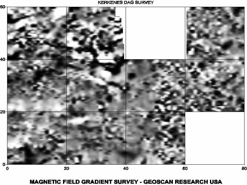
The geomagnetic survey started at Kerkenes in 1993 by Lewis Somers from Geoscan Research.
The geomagnetic map of the Iron Age city at Kerkenes was completed in 2002.
Progress Map |
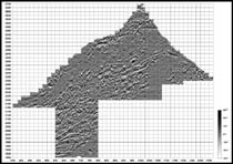
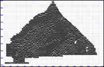
Magnetometry Map |
Map with details |
1998 |
1999 |
||
|
|
Area A |
Area B |
|
Area C |
Area D |
||
Area F |
Area G |
||
![]()
|
|
|
• Introduction
• Selected Images
• History
• Exploration • Remote Sensing • Excavations • Artifacts • GIS • The City • Regional Survey • Preliminary Reports • Project Publications • Bibliography |