
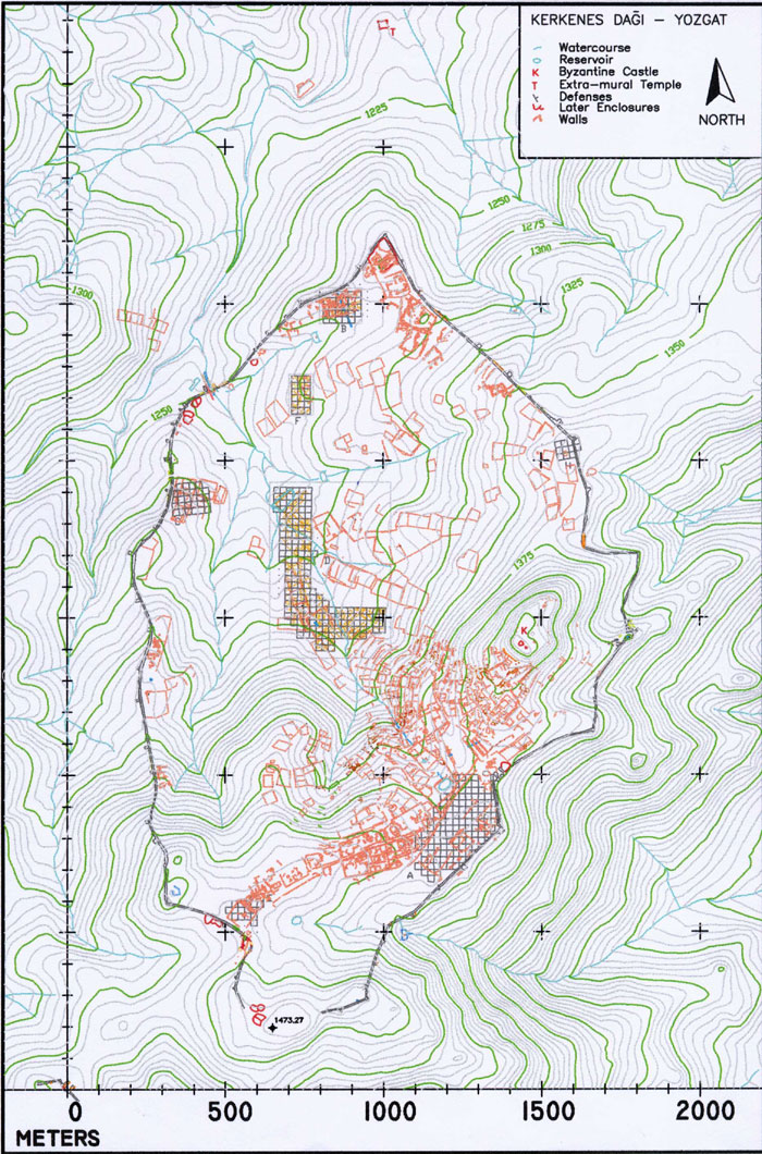
Plan
of the city showing the progress of cadastral and geophysical survey
at the end of the 1997 field season. This data is being combined with
the urban plan being drawn from Fig. 1.
- 1997 sezonunda çalışılan kadastro
planlarının çizilmesi ve jeofiziksel araştırma sonucunda ortaya çıkan
şehir planı. Bu veriler Şekil 1'deki harita
yardımıyla çizilen şehir planı ile birleştirilmiştir.
![]()