
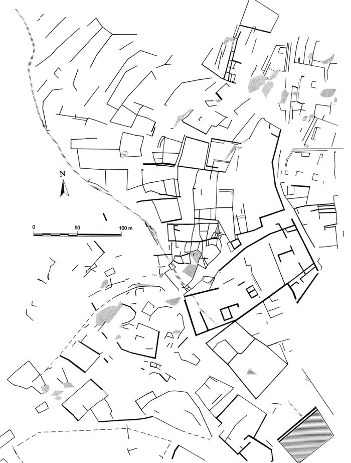
(Fig.
5 Plan A). Surface features: Sülüklü Göl at
bottom right, urban blocks, terraces, streets & passages on steep
slopes below the Kale are NE of the stream, those on the slopes below
the "Public Zone" are SW of the stream.
- (Şekil 5
Plan A) Çayın kuzeydoğusunda kalan bölge: Sağ altta Sülüklü Göl, Kale'nin
alt tarafındaki dik yamaçların üzerindeki yerleşim adaları, teraslar,
cadde ve geçitler. Çayın güneydoğusunda kalan bölge: anıtsal kamu yapıları
bölgesi.
![]()