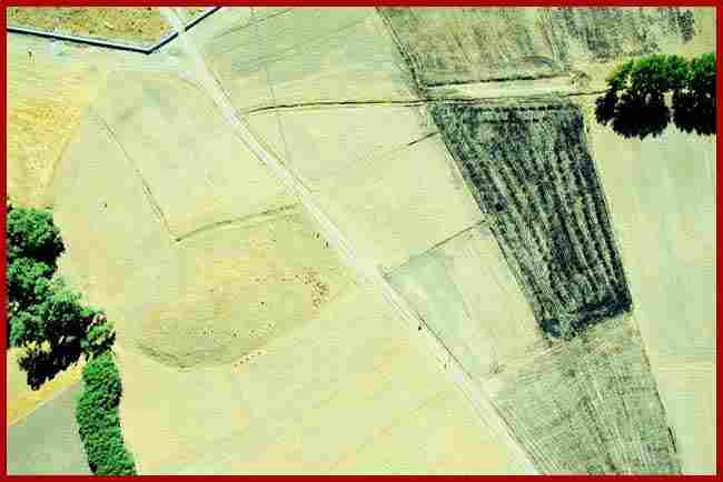
Regional SurveyThe hinterland of the city has been surveyed for associated monuments and human occupation. The routes leading from the city have also been examined and a search made for contemporaneous settlement in the hinterland. The settlement pattern in the surrounding area, from the chalcolithic to the present, is being studied with particular emphasis on human impact on the landscape over the last 10,000 years. A preliminary assessment has been made of the hundreds of tumuli in the vicinity and a tentative typology has been created. None of the tumuli need be as early as the city itself, in which case the cemeteries of the city have yet to be located. Extramural monuments associated with the city, at Karabas and Göz Baba, have been studied and recorded in detail.
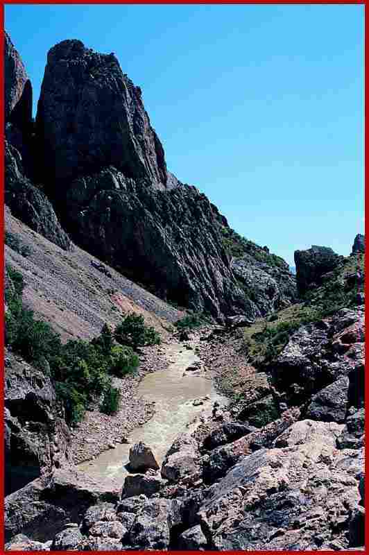
In the spring of 1998 regional survey was extended northwards to examine the line of ancient routes. The northern route, marked by a line of sites of various periods, went over the Dagni Dag pass between Eymir and Aydancik, crossed the Kumbet Ovasi and traversed the Alan Dag just to the west of the Kazankaya Kanyon. Perhaps this route was only of major importance during the brief life of the city at Kerkenes, the main route at other periods being east-west through the Kumbet ovasi and along the Çekerek Irmak. Highlights included Kaletepe Höyük, Aydancik, where two chalcolithic-Early Bronze Age destruction levels were seen in agricultural terraces cut by villagers and the spectacular scenery of the Kazankaya Kanyon. Byzantine tombstones, many inscribed, were seen in the majority of villages. |

[ kerkenes home page | kerknews turkçe | kerknews français ]
.