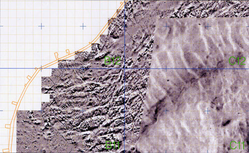
- Geophysical Map displayed together with the rectified hot air balloon photograph on the GIS Systems Software which delineates the amount of high accuracy attained.
|
|||
| - Geophysical Map displayed together with the rectified hot air balloon photograph on the GIS Systems Software which delineates the amount of high accuracy attained. |
|||