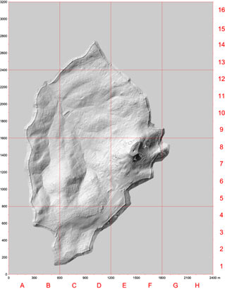
Triangulated Irregular Network
(TIN) simulation of the city made in ArcView 3D Analyst, from 1.400.000
GPS readings. GPS data collected in UTM WGS84 coordinate system and converted
into our local coordinate system.
Click on image to enlarge individual part.