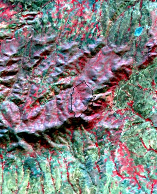
- Three-dimensional simulations can be created by draping the Landsat image over a digital map.