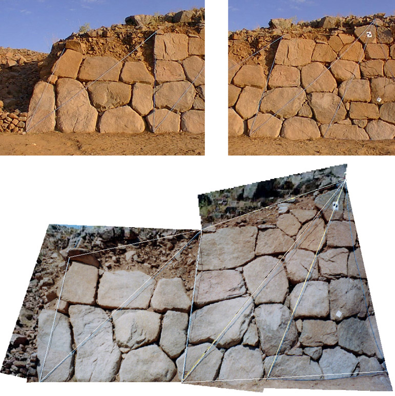
- The rectified
photograph of the site has been combined with the GPS 3D terrain model
in Arcview using 3D Analyst. The 3D data allows virtual fly over and animation.
-
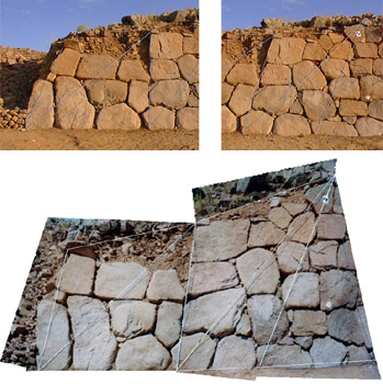
(a) ve (b) Intergraph I-RASC programýnda rektifikasyonu yapýlan
dijital fotoðraflar; (c) Üzerinden taþlarýn tek
tek çizilmesi mümkün olan rektifiye edilmiþ fotoðraflarýn
mozaiði.