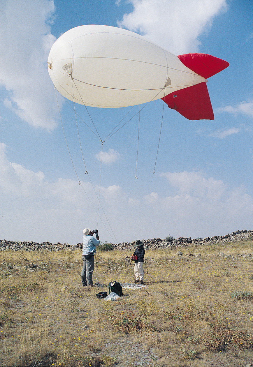
 The blimp in action.
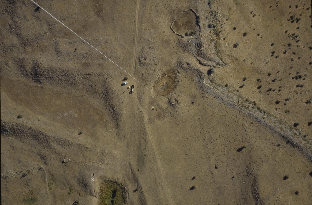
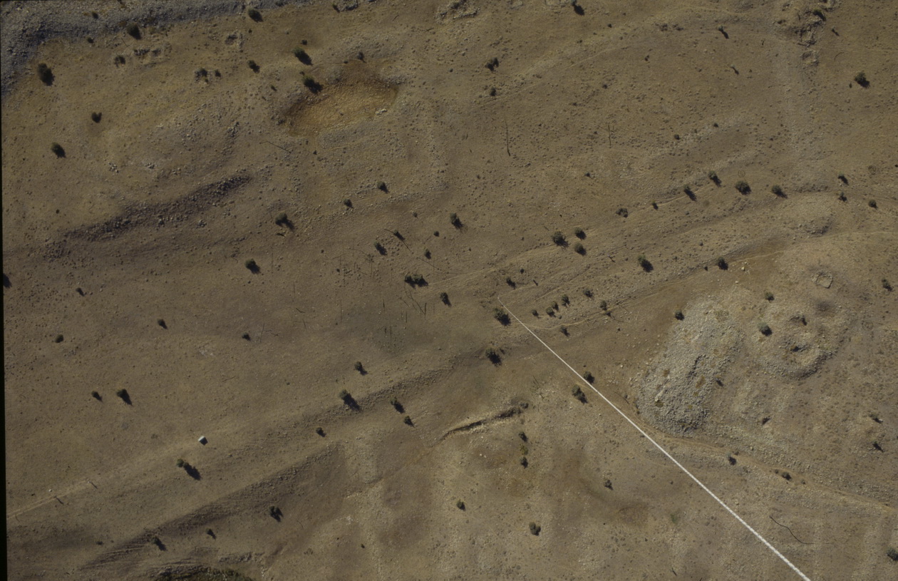 Blimp photgraph of Area A: a street runs diagonally from bottom right, the "palace" is in the angle between the tether rope and the street.
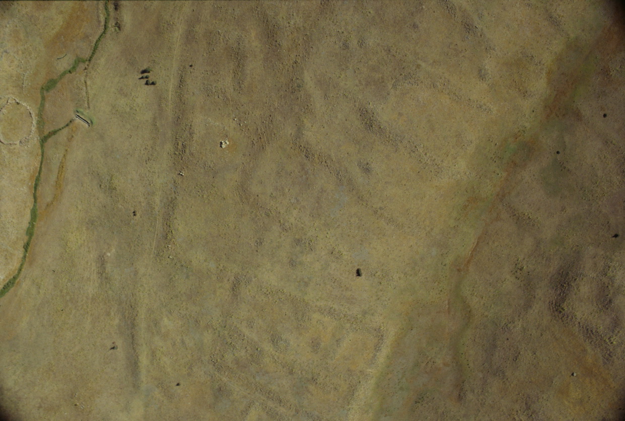 Blimp photograph showing the terraces in Area F, within part of which geophysical survey has revealed urban blocks containing various buildings.
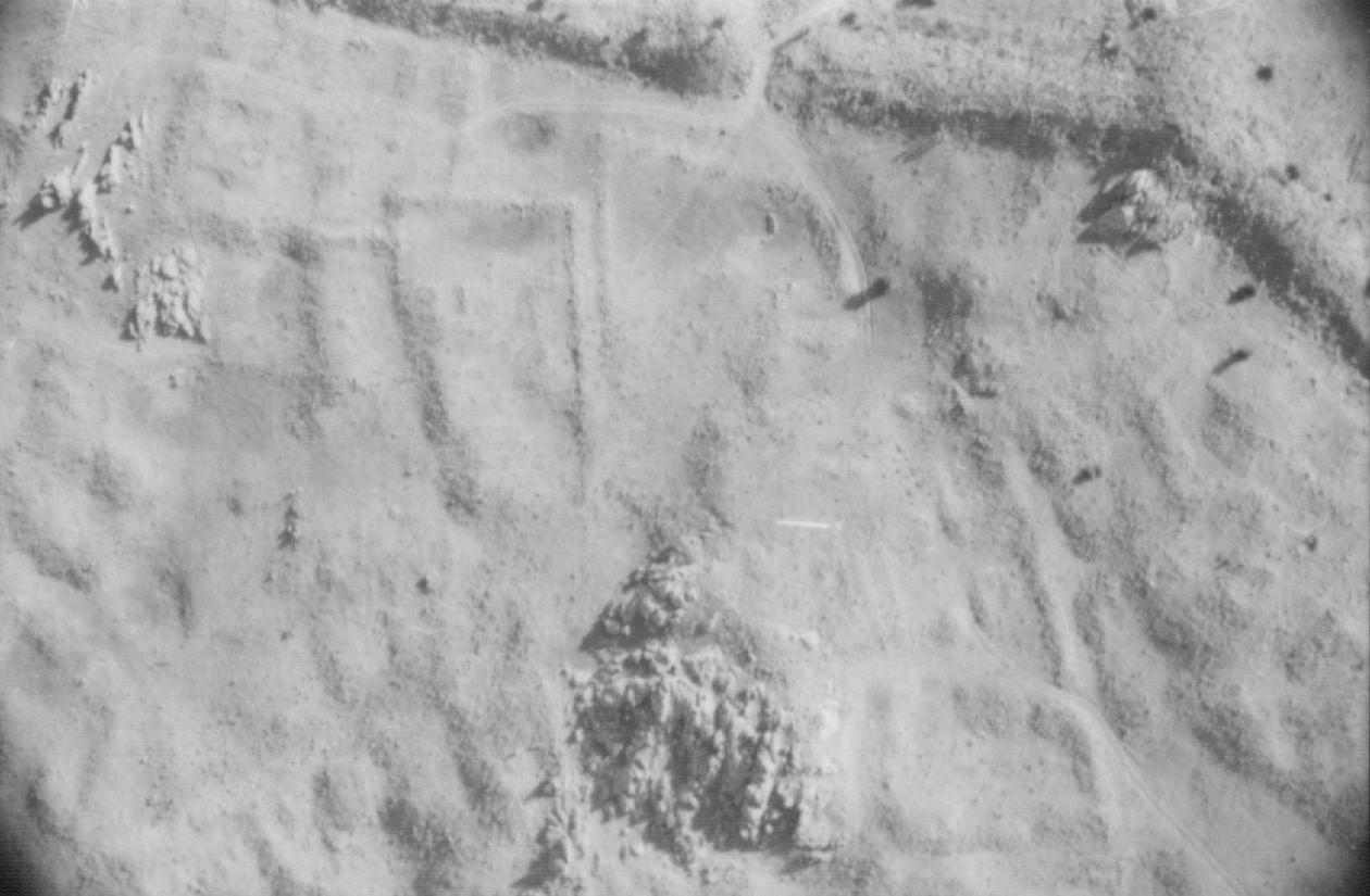
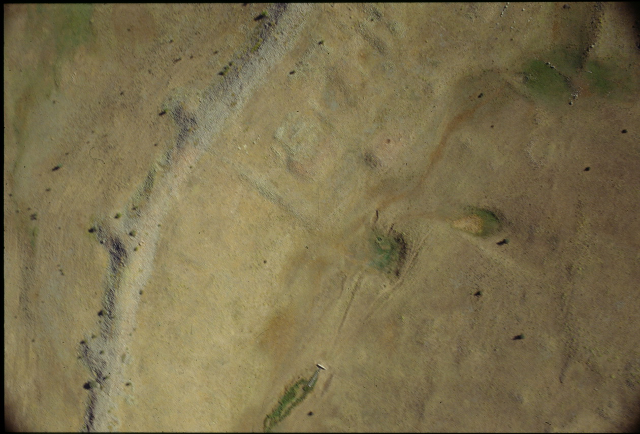 Vertical blimp photograph of part of the area, including Area B at the centre.
 The medieval castle photographed with the blimp.
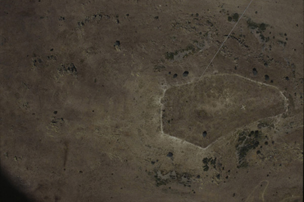
 The palace and environs.
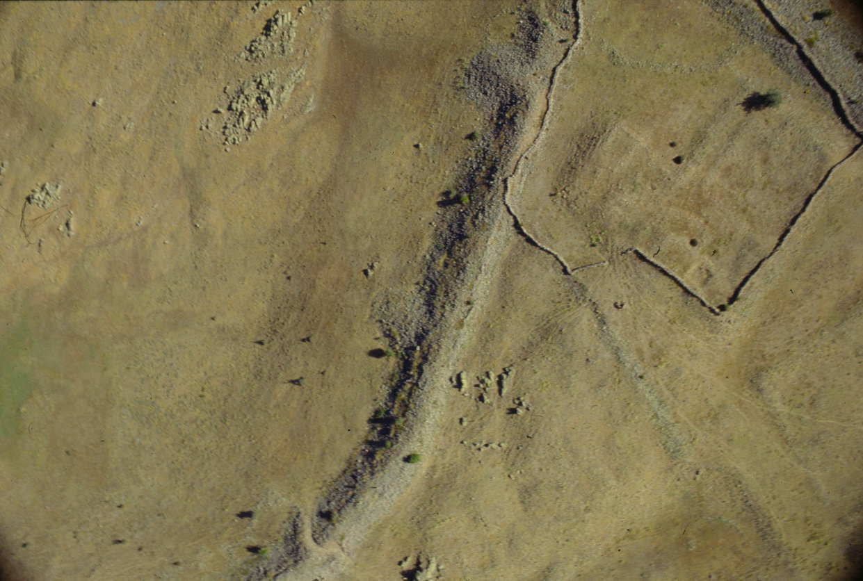 The north end of the city showing the ruinous defensive wall, tower and enclosure containing a large building beneath the modern animal pound.
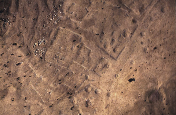
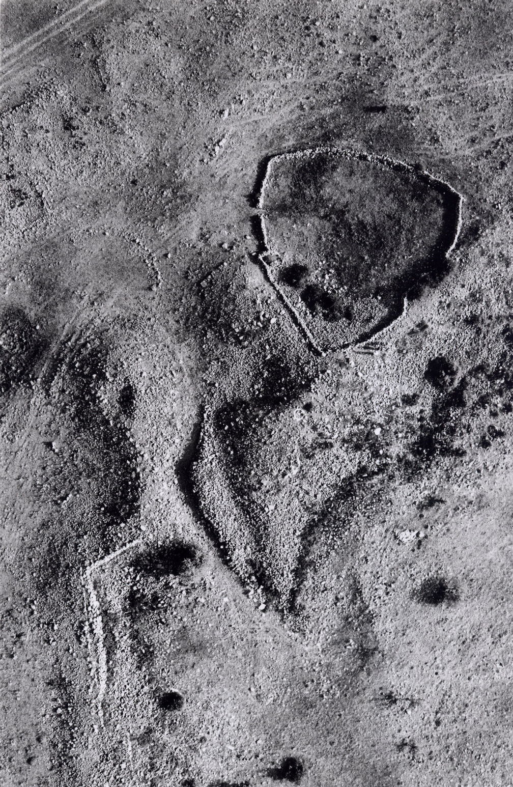
 Blimp photograph showing details of Area B.
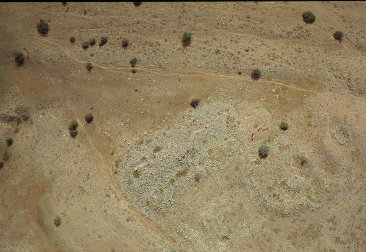
 The south gate and defences with the wall, towers and stone glacis. Inside is a small pool and a building.
 Blimp photograph of the west end of the wide street (c.18m.) and part of Area E. Despite later tumuli, the urban blocks and streets are clear.
 Blimp photo of the north-west corner of the extramural temple at Karabaş.
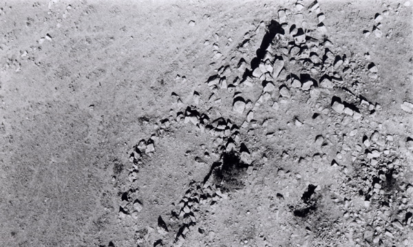
 A detail of the north-east corner.
 Blimp photograph of the "Cappadocian Gate".