![]()
| • Home | •• Remote Sensing | ••• Geophysical Survey | •••• Geomagnetic Survey - All Site |
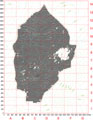 |
The geomagnetic map of the Iron Age city at Kerkenes, |
![]()
|
|
| • Introduction
• Selected
Images • History
• Exploration •
Remote Sensing • Excavations • Artifacts • GIS • The City • Regional Survey • Preliminary Reports • Project Publications • Bibliography • Sponsors |