![]()
| • Home | •• Remote Sensing | ••• Geophysical Survey | •••• Resistivity 02 |
 |
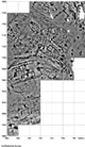
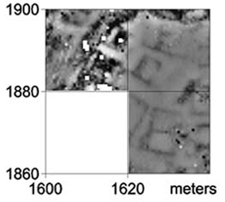
A trial with resistivity survey revealed a plethora
of features. The difference between the two images might reflect differences
in burning, but this requires testing by excavation. This area, which
dries out early on in the spring, is targeted for further resistivity
survey. |
|
 |
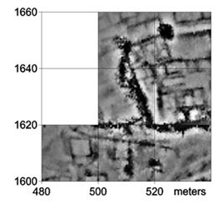
Resistivity survey in 2001 and 2002 reveals many more details of the buildings and also shows both hydrological features and modern tracks.(Updated on May 2003) | |
 |
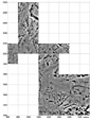
Resistivity survey provides some additional detail and a somewhat different overall impression. Not all the features on the magnetic survey are revealed by this method. Blank patches at left represent the stream. | |
 |
Resistivity survey is restricted to relatively stone-free grid squares where there is also sufficient moisture in the ground, hence the shape of the survey area. | |
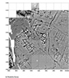
| Resistivity survey provides more details of the buildings in the restricted level space, but the terrain in this area means that progress is very slow indeed. Further resistivity survey in areas like this would only be justified for special reasons. |
![]()
|
|
| • Introduction
• Selected
Images • History
• Exploration •
Remote Sensing • Excavations • Artifacts • GIS • The City • Regional Survey • Preliminary Reports • Project Publications • Bibliography • Sponsors |