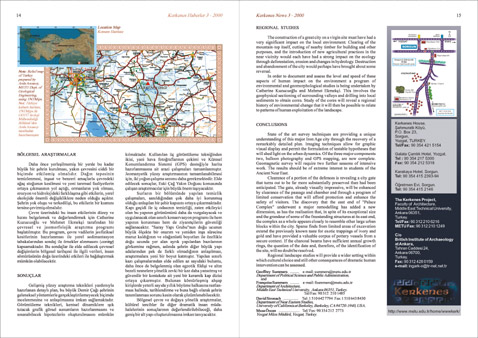
| Roadmap:
Relief map of Turkey prepared by Arda Arcasoy, METU Dept. of Geological
Engineering, using TNTMips.
REGIONAL STUDIES
The construction of a great city on a virgin site must have had a very
significant impact on the local environment. Clearing of the mountain-top
itself, cutting of nearby timber for building and other purposes, and
the introduction of new agricultural practices in the near vicinity
would each have had a strong impact on the ecology through deforestation,
erosion and changes in hydrology. Destruction and abandonment of the
city would perhaps have brought about some reversal.
In order to document and assess the level and speed of these aspects
of human impact on the environment a program of environmental and geomorphological
studies is being undertaken by Catherine Kuzucuolu and Mehmet Ekmekþi.
This involves the geophysical sectioning of surrounding valleys and
drilling into local sediments to obtain cores. Study of the cores will
reveal a regional history of environmental change that it will then
be possible to relate to patterns of human exploitation of the landscape.
Location Map
| Kerkenes
House,
Ìahmuratl² K÷y³,
P.O. Box 23,
Sorgun,
Yozgat, TURKEY.
Tel/Fax: 90 354 421 5154
Galata Ãaml²k Hotel,
Yozgat.
Tel : 90 354 217 5300
Fax: 90 354 212 5318
Karakaya Hotel,
Sorgun.
Tel: 90 354 415 2393-94
Íretmen Evi, Sorgun.
Tel: 90 354 415 2146 |
The Kerkenes
Project,
Faculty of Architecture,
Middle East Technical University,
Ankara 06351,
Turkey.
Tel/Fax: 90 312 210 6216
METU Fax: 90 312 210 1249 C/o
British Institute of Archaeology at Ankara,
Tahran Caddesi 24,
Ankara 06700,
Turkey.
Fax: 90 312 428 0159
e-mail: ingark-o@tr-net.net.tr |
CONCLUSIONS
State of the art survey techniques are providing a unique understanding
of this major Iron Age city through the recovery of a remarkably detailed
plan. Imaging techniques allow for graphic visual display and permit
the formulation of testable hypotheses that will shed light on the urban
dynamics. Of the three major components two, balloon photography and
GPS mapping, are now complete. Geomagnetic survey will require two further
seasons of intensive work. The results should be of extreme interest
to students of the Ancient Near East.
Clearance of a portion of the defences is revealing a city gate that
turns out to be far more substantially preserved than had been anticipated.
The gate, already visually impressive, will be enhanced by clearance
of the passage and chamber and through a program of limited conservation
that will afford protection and enhance the safety of visitors. The
discovery that the east end of "Palace Complex" underwent
a major remodelling has added a new dimension, as has the realisation
that, in spite of its exceptional size and the grandeur of some of the
freestanding structures at its east end, the complex as a whole appears
closely to resemble other large urban blocks within the city. Sparse
finds from limited areas of excavation extend the previously known taste
for exotic trappings of ivory and gold and have provided a valuable
corpus of pottery vessels from a secure context. If the charcoal beams
have sufficient annual growth rings, the question of the date and, therefore,
of the identification of the site, will no doubt be resolved.
Regional landscape studies will provide a wider setting within which
cultural choice and still other consequences of dramatic human intervention
can be assessed.
Geoffrey Summers
e-mail: summers@metu.edu.tr
Department of Political Science and Public Administration,
and
Franþoise Summers
e-mail: fsummers@metu.edu.tr
Department of Architecture,
Middle East Technical University, Ankara 06351, Turkey.
Tel/Fax: 90 312 210 1485
David Stronach
Tel: 1 510 642 7794 Fax:1 510 643 8430
Department of Near Eastern Studies,
University of California at Berkeley, Berkeley, CA 94720-1940, USA.
Musa Ízcan
Tel/ Fax: 90 354 212 2773
Yozgat M³ze M³d³r³, Yozgat, Turkey.
|