THE URBAN SURVEY
Completion of the Geomagnetic
Survey
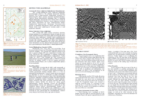
The geomagnetic survey was completed in 2002 (Fig.
1). Since our first tentative steps almost all of the
2.5km2 have been mapped using Geoscan FM 36 machines. Only the
Byzantine remains on the Kale and the Kiremitlik have been omitted.
When Lewis Somers of Geoscan started us off in 1993 we little
thought that ten years later we would be completing a magnetometer
survey of the entire site. Nahide Aydin, who has won a University
of Mississippi scholarship for an MSc in geophysics and anthropology,
was responsible for much of the co-ordination of the survey
as well as for training local workmen.
Resistivity Survey
Following
the excellent 2001 results, the spring season and part of the
main season in June, before the soil dried out, were given over
to extending the resistivity survey in the lower area of the
city (Figs 4,
5
and 7b).
Exceptional images were obtained in relatively stone-free areas.
At a maximum of nine grids per day, it would take more than
100 years to survey the city entirely, so it is perhaps no bad
thing that most of the site is unsuitable!
Geographic Information
Systems (GIS)
Scott Branting, now a graduate at SUNY Buffalo, has been
made an Associate Director of the Kerkenes Project with special
responsibilities for GIS studies. A member of the team since
1994, Scott conducted the GPS survey and is currently developing
research into GIS and transport modelling systems at Kerkenes.
Nurdan Atalan is now co-ordinating the construction of the GIS
data base in the Kerkenes Office at METU. The generous provision
by ESRI and ERDAS of ArcGIS and ERDAS Imaging enables the Project
to remain at the leading edge of innovative research.
Urban Dynamics
In two portions of the lower part of the city it has been possible
to combine geomagnetic and resistivity surveys with GPS surface
simulations and verification on the ground. One of these areas
is shown in Figs 6
, 7a
and 7b.
Examination on the ground allowed for the exclusion of later
boundaries or terraces and shepherds huts from the plan of the
Iron Age structures, none of the latter being visible on the
ground. Although the geophysical images compare very well, they
give quite different impressions. Resistivity tends to provide
greater clarity, but this is not always the case. The areas
that have been selected are very largely free of surface stones.
The layout of the urban blocks and intervening streets are reasonably
easy to discern. It would appear that position of urban block
boundaries has perhaps been influenced by stream beds, one of
which is situated on the left of the images, as well as by other
elements of the topography. Most blocks are seen to be crammed
with various types of buildings.


